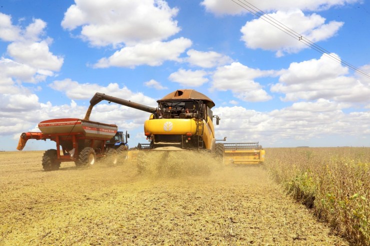
A model developed by Embrapa has been shown to be capable of predicting soybean yield with 71% accuracy, using high-resolution satellite imagery. The technology, which combines remote sensing with statistical calculations and machine learning, has the potential to assist producers and the industry in strategic harvest, logistics, and marketing planning.

The research uses daily images from the PlanetScope constellation, made available by the Brasil MAIS Program of the Ministry of Justice and Public Security. These images allow for near-real-time monitoring of crop development. In the case of soybeans, the researchers applied the enhanced vegetation index (EVI2), which captures differences in plant biomass and structure.
The results were promising: the correlation between predicted and observed yields reached 71%, a rate considered high for studies of this nature. The model was applied in validation experiments for the biostimulant Hydratus, developed to increase plant resistance to drought. "This type of analysis provides an innovative and cost-effective strategy for assessing crop performance in real time," explains Geraldo Magela Cançado, a researcher at Embrapa Digital Agriculture.
Although the study focused primarily on soybeans, the same methodology was also tested on other crops, such as sugarcane, with even higher accuracy rates. The expectation is that, as research advances and new variables such as temperature, soil texture, and water availability are included, the model will become even more robust and applicable on a commercial scale.
In addition to supporting producers and industries, the tool can be used in official crop surveys, offering more objective and comprehensive forecasts for different regions of the country.
Award-winning work
The Ministry of Justice and Public Security's Brasil MAIS (Integrated and Safe Environment) Program relies on an alert platform using daily images from nanosatellites in the PlanetScope constellation. These images are shared with more than 600 Brazilian institutions, including public safety and oversight agencies at the federal, state, and municipal levels, as well as with universities and research institutions. Embrapa is one of the users of the images provided by 130 satellites that cover Brazil daily, with a resolution of 3 meters per pixel and eight spectral bands.
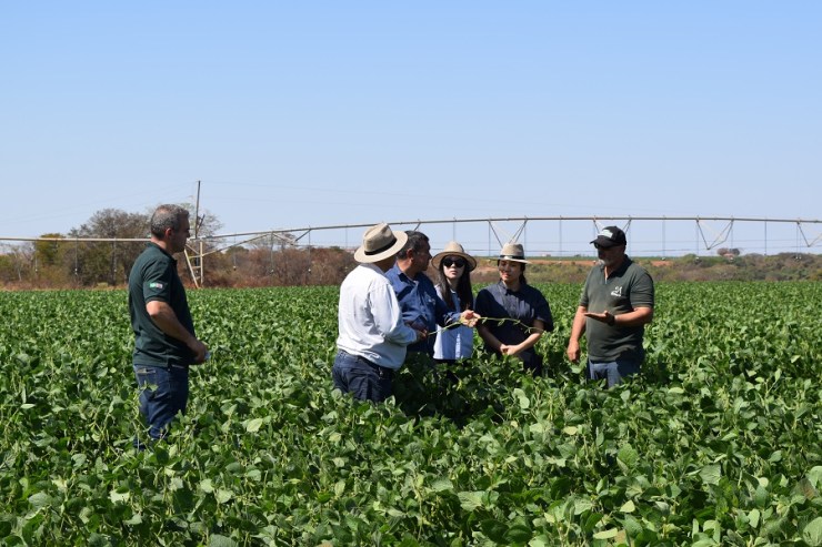
 "Although the Program's primary focus is monitoring various types of illegal activities, the potential of these images also stands out in agricultural research, opening up new possibilities for study and innovation at Embrapa. The initiative proves to be well-suited for applications in experimental areas, such as agricultural production plots, where daily high-resolution monitoring can generate valuable information for research and management," says Júlio Esquerdo, Deputy Head of Research and Development at Embrapa Digital Agriculture.
The high frequency of images represents a benefit compared to using drone images, for example. Although drone image resolution is better, the frequency is limited by the availability of personnel to fly.
This year, the MAIS Network, which brings together the institutions participating in the Brasil MAIS Program, held an award ceremony to recognize and value initiatives using the platform. The paper "Sugarcane Productivity Forecasting Using Temporal Analysis of PlanetScope Images," submitted by Embrapa, won first place in the federal institutions category.