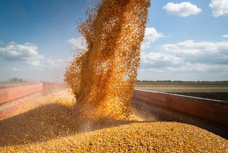
For the second half of April, climate maps indicate rainfall concentrated in the central part of the country, accompanied by above-average temperatures for the region. In the South, the forecast points to below-normal temperatures. The United States National Oceanic and Atmospheric Administration (NOAA) announced the end of the La Niña phenomenon and the beginning of a phase of climate neutrality, with a probability of more than 50% of this pattern persisting until the quarter between August and October.
 According to the consultancy Agro Itaú BBA, the GFS model predicts significant rainfall over the next 15 days in Mato Grosso do Sul, Goiás, Minas Gerais and northern São Paulo. “Rainfall may be above average during the second half of April between the Central-West and Southeast,” highlights the Agro Mensal bulletin.
The expectation is that a strip between Mato Grosso do Sul, the interior of Goiás, Minas Gerais and São Paulo will record accumulations above the historical average. In the South, Paraná should concentrate the highest volumes of precipitation in the second half of April, while Rio Grande do Sul tends to have below-average rainfall in much of the territory.
Temperatures are expected to remain above average in central Brazil, especially in Mato Grosso, Goiás and Minas Gerais. In the South, temperatures are expected to be within or below normal, particularly in Rio Grande do Sul, where temperatures are expected to register values below the average for the period.
According to the new NOAA bulletin, the Pacific returned to neutral climate conditions in March. The neutral phase has a chance of more than 50% to continue through the August-October quarter. For the second half of the year, models still indicate uncertainty regarding the return of La Niña, with a current probability close to 40%.