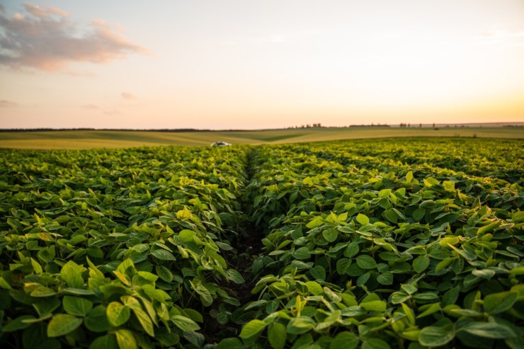
The Ministry of Agriculture and Livestock (Mapa) will begin, in October, the next phase of the pilot project of the Agricultural Zoning of Climate Risk in Management Levels (ZarcNM), which will focus on soybean crops in the State of Paraná.
ZarcNM, developed by Embrapa, innovates by considering the level of agricultural management in each area to calculate climate risk, differentiating properties based on the adoption of sustainable and efficient practices. The technical protocol classifies areas into four levels (NM1 to NM4) based on six indicators, including soil calcium content, time without tillage, mulch cover, and crop diversity.
Classification and Differentiated Grant
To have an area classified, producers must register a set of data in the Management Level Information System (SINM), including the area's geolocation information, remote sensing information, and physical and chemical soil analyses. The operation and recording of this data were initially performed by accredited users, such as cooperatives, insurance companies, and geotechnology companies.
The pilot project is a direct incentive for sustainability and will allocate R$1.5T 8 million in subsidies to rural insurance premiums, exclusively for soybeans in Paraná in the 2025/2026 harvest.
Producers with areas classified as having higher management levels will be able to access differentiated subsidy percentages, which can reach up to 35%, rewarding the quality and history of property management.
The next stage, scheduled for October 13, will consist of insurers sending insurance proposals to Mapa, validating the areas that met Embrapa's technical criteria and that were registered with SINM by October 10.