EN
EN  PT_BR
PT_BR 
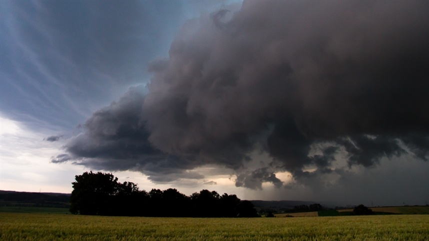
Heavy rain is expected to continue in south-central Brazil in the coming days, driven by two extratropical cyclones and their respective cold fronts. According to data released by Meteored, severe storms are forecast for the South, Southeast, and Midwest regions, with rainfall totals that could exceed 100 mm and approach 200 mm in some areas.
According to data released by Meteored, an extratropical cyclone and its associated cold front have already caused severe storms in recent days and continue to affect the south-central part of the country this Wednesday (30). The system maintains significant rainfall in the region. The scenario should persist in the coming days with the formation of a second extratropical cyclone and its cold front, expected between Saturday (3) and Sunday (4).
On Wednesday (30), the risk of severe storms remains high between northern Rio Grande do Sul, Santa Catarina, Paraná and southern Mato Grosso do Sul. In the rest of the Southeast and Midwest, the weather remains predominantly stable, although some locations may register rain showers.
On Thursday (1st), the first day of October, the cold front advances northward and organizes an extensive band of cloudiness and precipitation over the Southeast and Midwest.
The most affected areas include São Paulo, southern Rio de Janeiro, southern and western Minas Gerais, Mato Grosso do Sul, southern Mato Grosso, and southern Goiás.
On Friday (2), the instability band continues to move north. As a result, the rains will become more widespread over the Southeast.
There is a high risk of storms in Rio de Janeiro, Minas Gerais, and southern Espírito Santo. During the afternoon, localized showers may also occur more sporadically in Mato Grosso, Goiás, and the Federal District.
The scenario will gain strength again over the weekend, between Saturday (3) and Sunday (4), with the formation of a second extratropical cyclone and its associated cold front. Severe storms will mainly affect Rio Grande do Sul, with the possibility of further disruption.
On Sunday (4), the cold front advances through the South, Southeast and Midwest. The instability should reach Santa Catarina, Paraná, Mato Grosso do Sul, Mato Grosso, Goiás, São Paulo, Rio de Janeiro and Minas Gerais.
With this sequence of weather systems, rainy weather is expected to persist over the South, Southeast, and Midwest regions over the next few days. According to data released by Meteored, the heaviest rainfall is initially expected to be concentrated between Rio Grande do Sul, Santa Catarina, and Paraná. Over the following week, heavy storms are also expected to affect other areas of the Southeast and Midwest.
In the most affected regions, rainfall totals could exceed 100 mm and reach close to 200 mm. The high volume of rain increases the risk of flooding, flash floods, and overflowing rivers. There is also the possibility of falling trees and other disruptions associated with the storms. With the sequence of cyclones and cold fronts, south-central Brazil remains under alert for severe weather and heavy rainfall.