EN
EN  PT_BR
PT_BR 
The main meteorological models — American and European — have converged in their projections and indicate an improvement in rainfall distribution in the coming days in several regions of Brazil. After a start to October still marked by irregularities, rainfall has begun to return with greater intensity, especially in the interior of São Paulo and in parts of the Midwest.
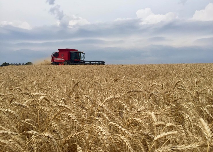
This change in weather patterns should accelerate the pace of grain planting, which had been slower due to lack of soil moisture. In the case of perennial crops such as coffee and oranges, the expectation is that the improved consistency and good distribution of rainfall will contribute to the uniformity of flowering.

Photo: Disclosure/OPR Archive
The United States National Oceanic and Atmospheric Administration (NOAA) has confirmed the presence of the La Niña phenomenon, with a transition from a neutral state observed in September. The phenomenon is predicted to persist until early 2026, with varying impacts on the Brazilian climate.
Historically, La Niña brings more regular rainfall to the Midwest and parts of the Southeast, which tends to favor the initial development of soybeans in these regions. Conversely, the South of the country requires extra attention, as the phenomenon is usually associated with periods of drought, especially in Rio Grande do Sul and parts of Santa Catarina.
Despite this, current models point to a weak La Niña, which reduces the risk of severe droughts. Projections indicate sufficient accumulated rainfall to ensure good crop productivity, including in Rio Grande do Sul. Meteorological updates will continue to be monitored in the coming months.